Location card
BASIC INFORMATION
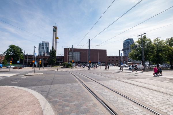
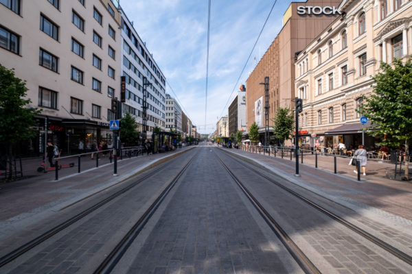
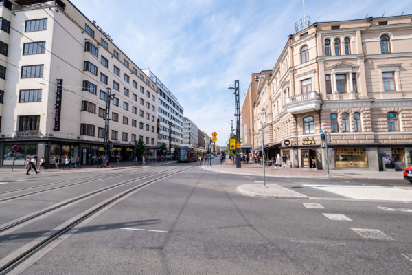
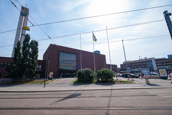
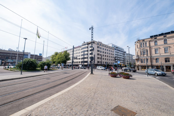
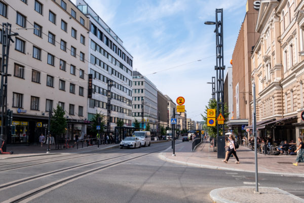
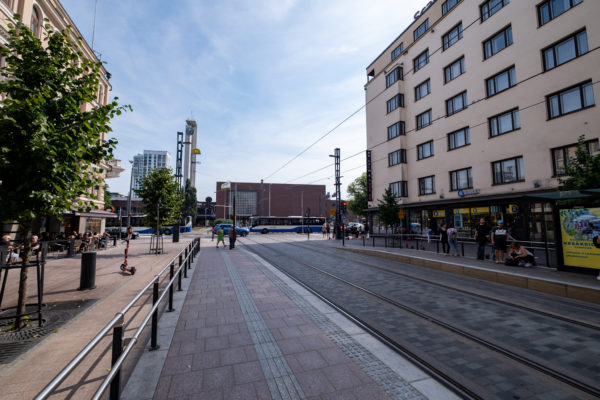
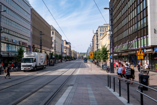
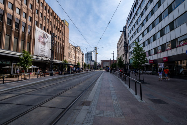
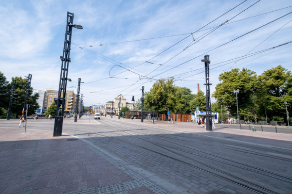
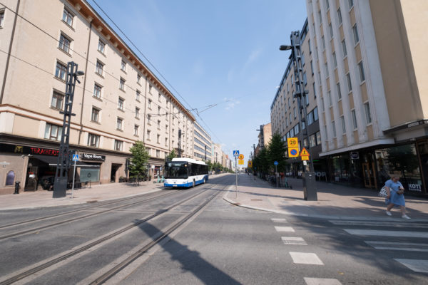
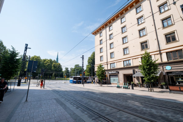
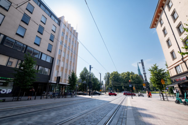
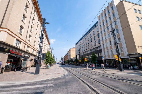
Hämeenkatu is Tampere's main street. The approximately one kilometer long and 28.5 meter wide park street is a public transport street paved with cobblestones along its entire length. Hämeenkatu starts in the east from the Rautatinkatu intersection near the railway station, crosses Tammerkoski along the Hämeensilta and runs through Keskustori all the way to Hämeenpuisto in the west. East of the Rautaitenkatu intersection, Hämeenkatu is a continuation of Itsenäisyydenkatu, about 700 meters long, up to the intersection of Kaleva puistotie, Sammonkatu and Teiskontie. Towards the west, the street line continues first to Pirkankatu, then to Pispala highway. Photos: Heikki Kiiski Photo
GALLERY